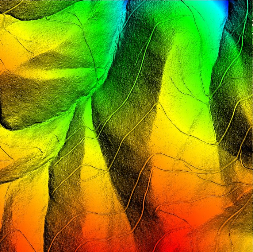
LiDAR
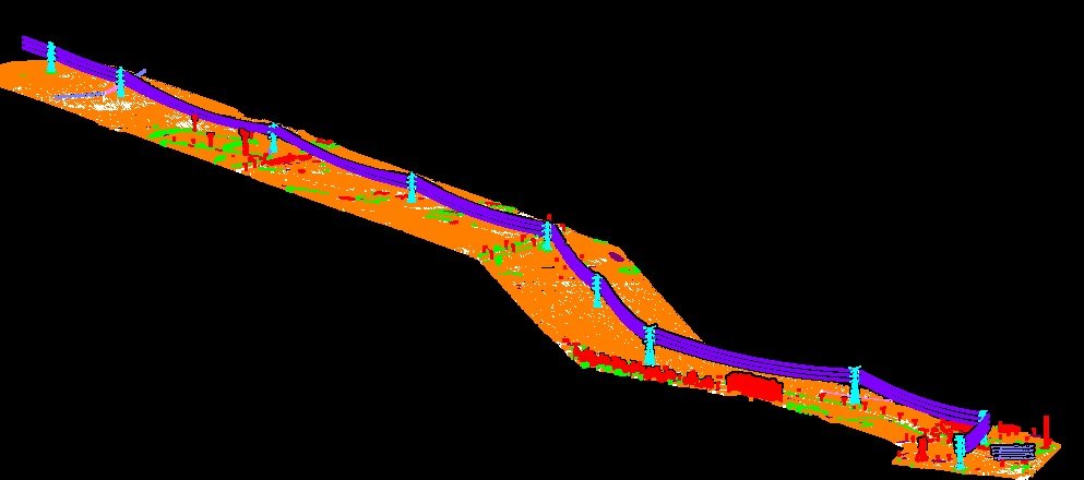
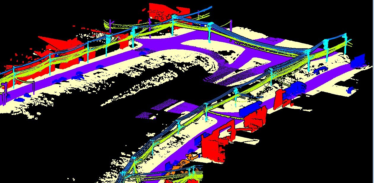
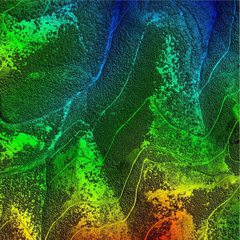
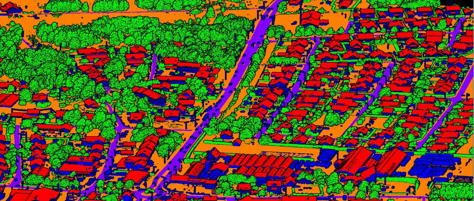
Light Detection and Ranging (LiDAR) can determine the visible structural composition of the earthen entities by hitting laser onto a target and recording the reflection on a remotely sensed board.

Earthscan Pro, provides quality UAV-Photogrammetry – Topographic and Planimetric Mapping, Digital Orthophotography, LiDAR Post Processing, Point Cloud to CAD-BIM Modelling data to International and Indian private and governmental agencies.
Guiding principles that drive our organization forward
To become the global leader in geospatial innovation, transforming how the modern-day human understands and interact with the regional to global environment through cutting-edge technology and sustainable solutions in the digital era.
To deliver exceptional geospatial services through innovative mapping, precise data collection, and advanced geospatial data analysis through Artificial Intelligence and Machine Learning Algorithm empowering decision-makers with accurate information for a better tomorrow.
Find reasons to choose us as your freight partner
Light Detection and Ranging (LiDAR) can determine the visible structural composition of the earthen entities by hitting laser onto a target and recording the reflection on a remotely sensed board.
.
.
.
Lorem ipsum dolor sit amet consectetur adipisicing elit. Optio nulla consequatur debitis numquam dolorum, iusto minus necessitatibus.